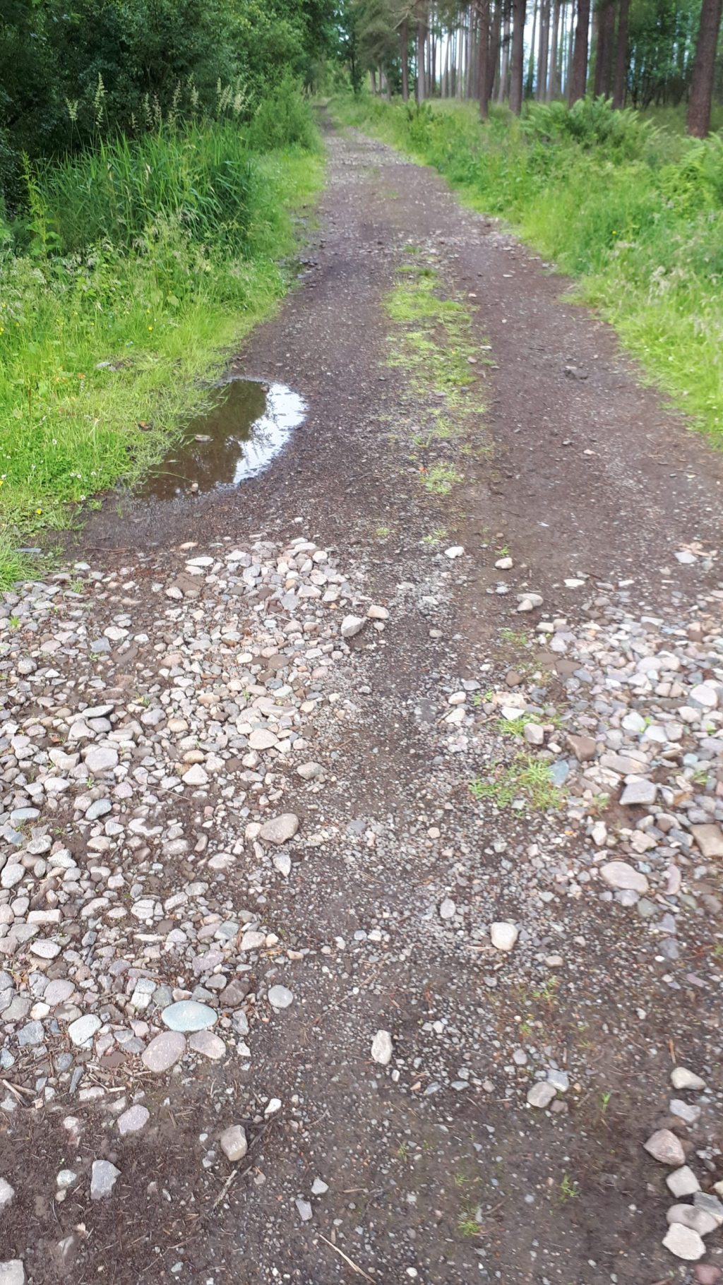
The Romans built roads to help move troops around Scotland as well as to occupy the soldiers stationed here, since they spent most of their time not fighting. An interactive map showing forts and roads can be found below
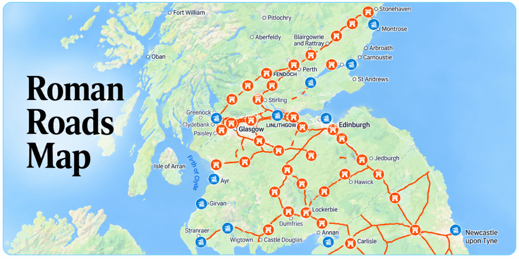
The wider road network in Britain is below

| Dere Street | MId 1St Cent AD | Corbridge to Cramond |
| Fosse Way | Mid 1st Cent AD | Exeter to Lincoln |
| Watling Street | Mid 1st Cent AD | Dover to Wales |
| Stanegate | 1st – 2nd Cent. AD | Hadrian’s Wall Road |
This site http://www.oldroadsofscotland.com/historical%20period1.htm deals with the history of roads and tracks in Scotland.
Source: Old Roads of Scotland

