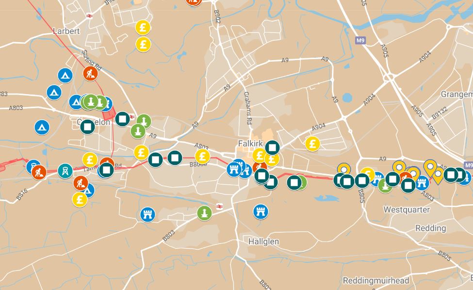
Discover Roman Scotland close to where you live — or where you are visiting.
Modern Scottish towns and cities often sit beside the same rivers, roads and strategic routes that attracted Roman armies nearly 2,000 years ago. These local guides bring together forts, camps, roads, finds and museums across 23 towns and areas from the Solway to Moray.
Choose an area below, then use its clickable local map to explore the Roman landscape on your smartphone while you are out and about.
Amazing fact
You do not need to live beside the Antonine Wall to find Roman archaeology. Evidence for Roman armies extends from the Solway and Borders to Moray in the north.
All towns and areas
- Aberdeen
- Annan and Gretna
- Bearsden
- Bo’ness
- Brechin and Angus
- Crieff and Auchterarder
- Cumbernauld
- Dumfries
- Dunkeld and Blairgowrie
- Edinburgh
- Elgin and Moray
- Falkirk
- Glasgow
- Inverurie
- Jedburgh
- Kirkintilloch
- Lockerbie
- Melrose
- Musselburgh
- Peebles
- Perth
- Stirling
- Stonehaven
Featured town guides
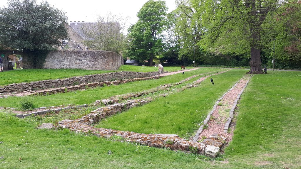
Edinburgh & Cramond
Explore Cramond Roman Fort at the mouth of the River Almond and the roads, finds and other evidence for Roman activity around Edinburgh.
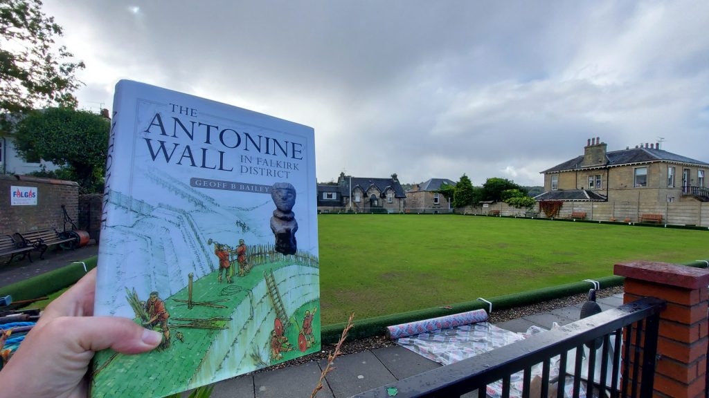
Falkirk & the Antonine Wall
Follow the Antonine Wall through Falkirk and explore Camelon, Rough Castle, Mumrills and other Roman sites nearby.
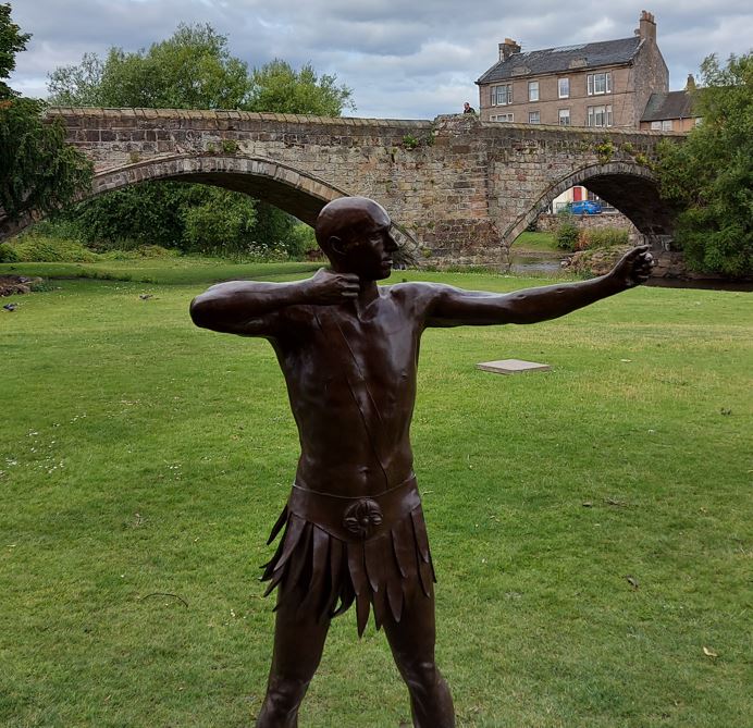
Musselburgh & Inveresk
Discover Inveresk’s Roman fort and settlement, important finds and evidence for Roman activity beside the Firth of Forth.
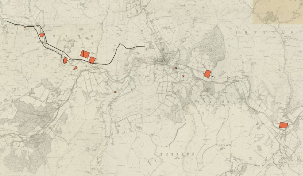
Peebles & the Tweed Valley
Follow Roman movement through the Tweed Valley, with Lyne Fort, nearby camps and routes through the Scottish Borders.
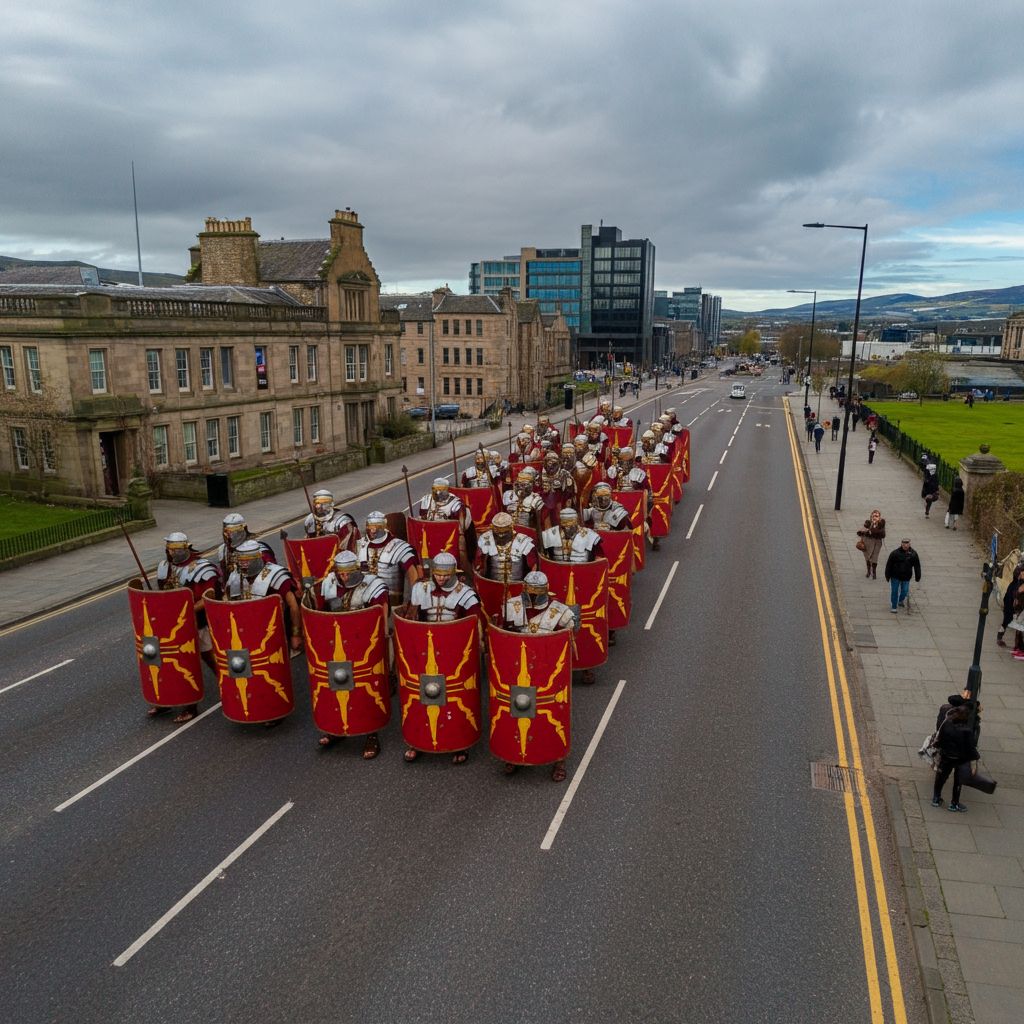
Perth & the Tay
Explore the Roman presence around Perth and the Tay corridor, including Bertha, Carpow, the Gask Ridge and Inchtuthil.
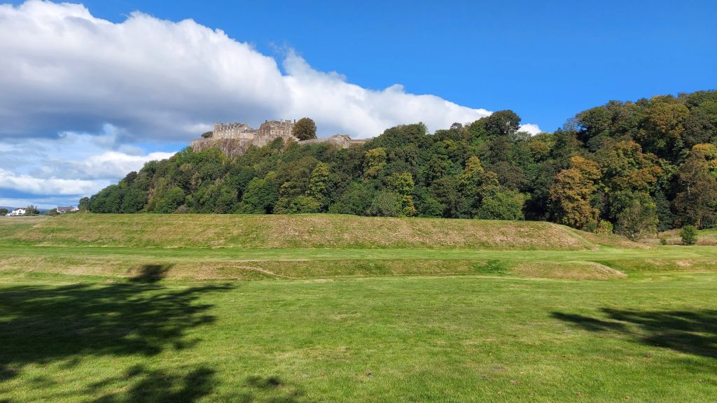
Stirling & the Forth
Explore the strategic Forth corridor and Roman activity around Stirling, with routes north towards Doune and the Highlands.
Take the maps with you
These guides and maps are particularly useful on a smartphone while you are out exploring. Seeing the modern landscape on foot can make river crossings, ridges, roads and the positions chosen for forts and watchtowers much easier to understand.
You can also browse the shared Google Drive folder of Roman Maps from Romans in Scotland.
Please respect private land, access restrictions and archaeological sites when exploring.

