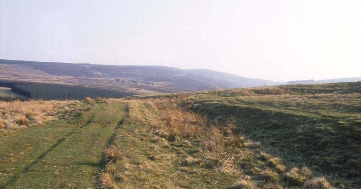
Between Dun Law and Turf Law in the Scottish Borders, the line of Dere Street disappears for some 40 to 50 metres as it crosses boggy ground. In autumn 2007, before a wind farm access track was built, archaeologists from CFA Archaeology opened a trench across the gap. Beneath the peat they found the cobbles of the Roman road. Beneath the cobbles lay something much less often preserved in Scotland: the wood that had helped carry the road across an old stream channel.
Birch logs and hazel branches beneath the road
At the southern end of the trench, where a small stream had once run, the builders laid logs across one another to form a lattice. Birch supplied most of the larger timbers. Beside the lattice, a mat of branches, mostly hazel, spread across the width of the road. The waterlogged ground preserved both kinds of foundation well enough for specialists to identify the wood. Beetle holes in some pieces showed that the builders had gathered deadwood as well as freshly cut timber.
A compact layer of sandy clay helped level the timberwork. Above it lay rounded cobbles. The excavated road was about 7.6 metres wide and the cobbled layer about half a metre thick. Its surface sloped away towards both edges to shed water. Whether travellers went directly over these stones is uncertain. A finer upper surface may have washed away.
Drainage and repairs
Along the eastern, downhill edge, the excavators traced a shallow drainage gully, surviving in short stretches. It was about 1.2 metres wide and 30 centimetres deep. The report records no matching gully on the western edge. At Newbridge, west of Edinburgh, the excavators found no roadside ditches at all and suggested that the local sand and gravel drained freely.
Even with the timber foundation, parts of the Dun Law road sank. The excavators recognised eight probable repairs. Cobbles had been packed into hollows, and beneath some of these hollows the brushwood mat was missing.
When was the crossing built?
Four samples from the logs and brushwood were radiocarbon dated. Their individual ranges overlap and, taken together, extend from about 40 BC to AD 220. They are consistent with construction during the Roman advance into Scotland in the late first century AD, although the wood cannot tie this stretch to a particular year or campaign.
See the excavation drawings
In the illustrated excavation report, start with illustration 3 on printed page 7 to see the cobbled road from above. Illustration 5 on page 8 cuts through the road to show the layers beneath it. Turn to illustration 6 on page 9 for the plan of the surviving timber lattice.
Chris O’Connell, Ross White and Michael Cressey (2014), Excavation across the Dere Street Roman Road at Dun Law, Scottish Borders, Scottish Archaeological Internet Reports 57. For the wider network, see Roman Roads in Scotland.

