89 minutes 05 seconds · Full-length talk
Three research presentations examine how new evidence is changing our understanding of Roman roads in Britain.
What this video covers
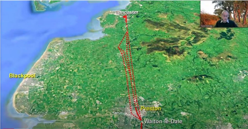
This recording brings together three presentations associated with the Roman Roads Research Association. David Ratledge considers how lidar data is changing the mapped road network in north-west England. Rob Entwistle examines Watling Street, Stane Street and their associated routes. Mike Haken discusses evidence for Roman penetration into Brigantia before the Flavian period.
The geographical focus is mainly outside Scotland, but the recording offers a useful comparison for anyone interested in how routes are identified and interpreted. It introduces different research questions, from finding traces in the landscape to considering what roads might reveal about the chronology of Roman activity.
Treat it as a set of research talks rather than a short guide to a single road. The proposed routes and historical conclusions should be assessed through the evidence presented by each speaker. Readers studying Scotland can use the related road guide to compare these approaches with the evidence farther north.
About the video
Publisher/channel: Royal Archaeological Institute
Uploaded: 14 April 2021
Captions: Automatic captions available on YouTube; names and specialist terms may contain errors.
Overview based on the publisher’s description; this is not a transcript.

