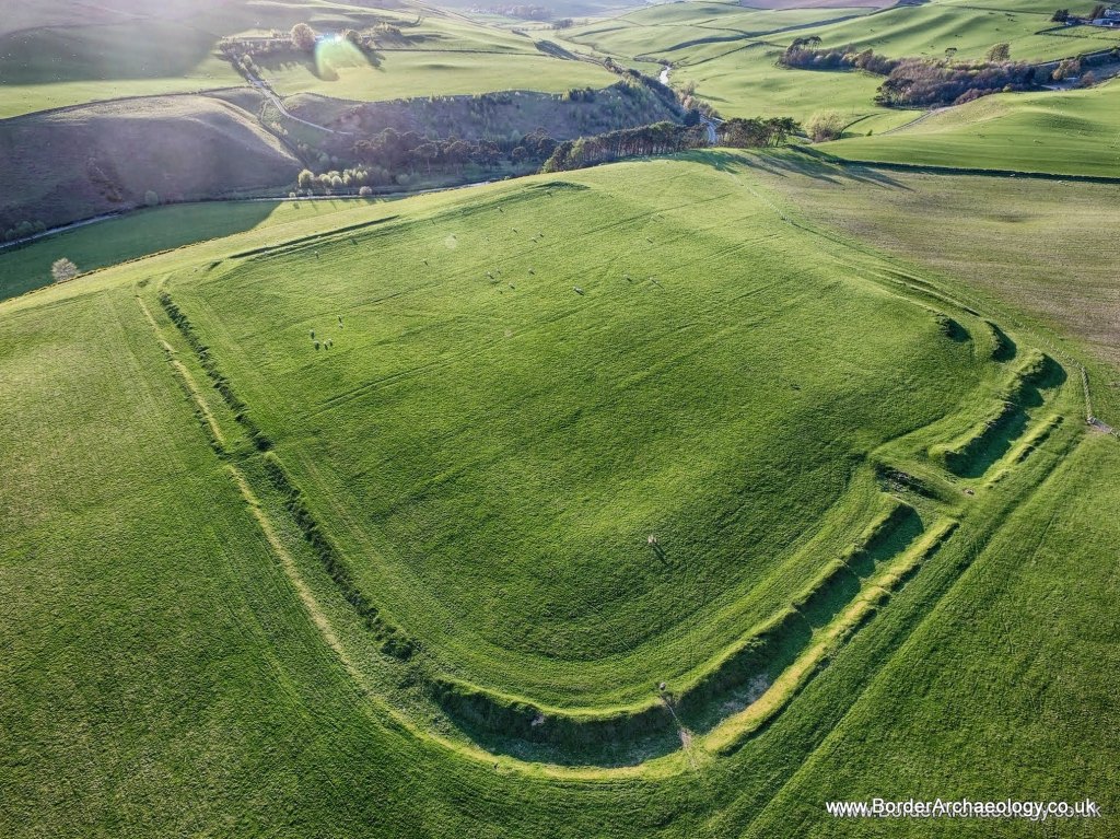
Lyne Roman Fort is on unspoilt land used for grazing, and many features are viewable 2000 years later. It is little visited yet only a few minutes from Peebles. Two camps are also located nearby. The few finds show that the fort was built during the Antonine period, the mid-second century AD. On the other side of the river and southwest of here at Easter Happrew, there is another Roman fort. This smaller fort was built and used by Romans between 75 and 86 AD when Agricola marched the first Roman armies into Scotland.
Visit Lyne Roman Fort
📍 Location: Lyne, a few miles west of Peebles in the Scottish Borders
👁 What survives: Clear earthworks. The broad turf ramparts of the fort can still be traced on the ground, although the internal buildings are no longer visible.
⭐ Best for: Exploring a little-visited Roman fort in an open rural landscape and seeing how its surviving earthworks relate to the Roman road and nearby military sites.
🥾 Visit: An outdoor archaeological site on grazing land. Expect uneven grassy ground and conditions that can change with the weather.
🏛 Nearby Roman places: Easter Happrew Roman fort, nearby Roman camps and the Roman road through Tweeddale.
Lyne at a glance
| Occupation | Antonine occupation in the mid-second century, separate from the earlier fort at Easter Happrew. |
| Garrison | Unknown. |
| Size | A reliable phase-specific internal area is not established in the sources summarised here. |
| Troop estimate | Possibly up to about 1,000 in a mixed force has been suggested; this is a capacity interpretation. |
Inscriptions
No inscription identifying Lyne’s regiment is presented here. Comparisons with Batavian units elsewhere do not identify its garrison.
References
ℹ️ Current visitor information
Alan Braby (artist)
Geophysical Survey at Lyne and Easter Happrew (2025)
Lyne (Trove record)
Lyne Roman Fort (Roman Britain)
Excavation of the Roman Camp at Lyne, Peeblesshire (undertaken by the Society of Antiquaries of Scotland in 1901)
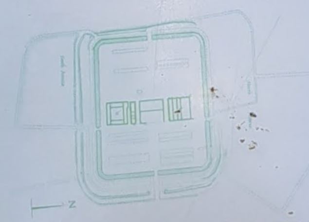
The Lyne Roman fort can still easily be traced on the ground by following the outline of its broad earth ramparts. The main buildings in the fort can no longer be seen, but excavations in 1900 and 1959 have shown that these were built with red sandstone. They included the headquarters building in the centre, a granary and the commandant’s house to the south, and on the north side a large building which may have been a workshop. The rest of the buildings, mainly barrack blocks and stables, would have been built with timber.
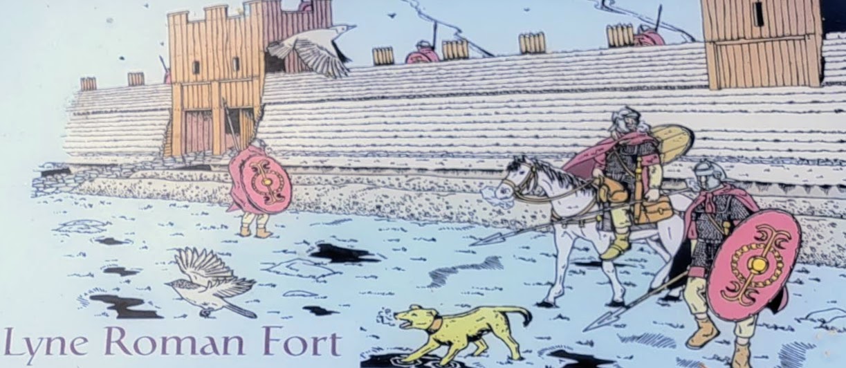
Copyright Alan Braby – used with permission
It was probably occupied for a few years. The garrison probably consisted of a mixed unit of cavalry and infantry up to a thousand strong. Agricola brought many auxiliary troops to Scotland from modern-day Germany, Holland and Belgium. The Batavians were 6 cohorts strong in Britain and likely to have been used. Evidence shows they were stationed along the Antonine and Hadrian’s Wall.
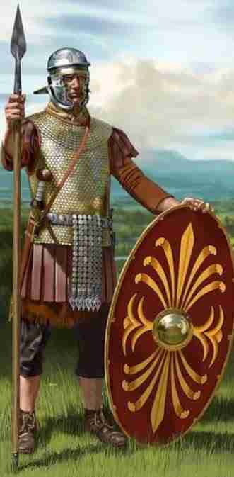
copyright Johnny Shumate https://johnnyshumate.com/
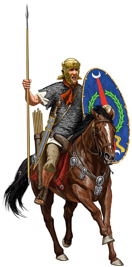
copyright Johnny Shumate https://johnnyshumate.com/
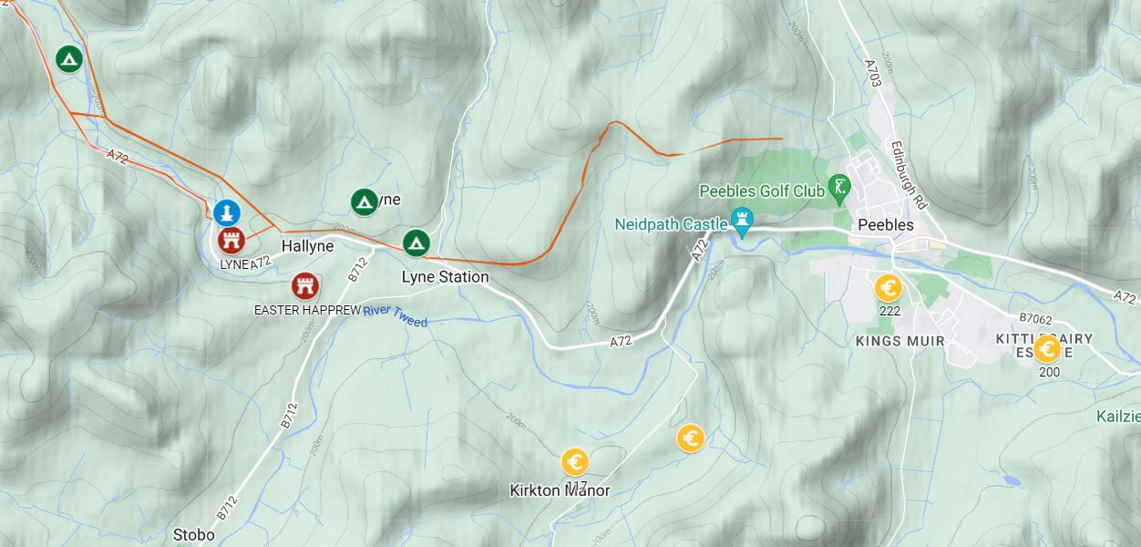
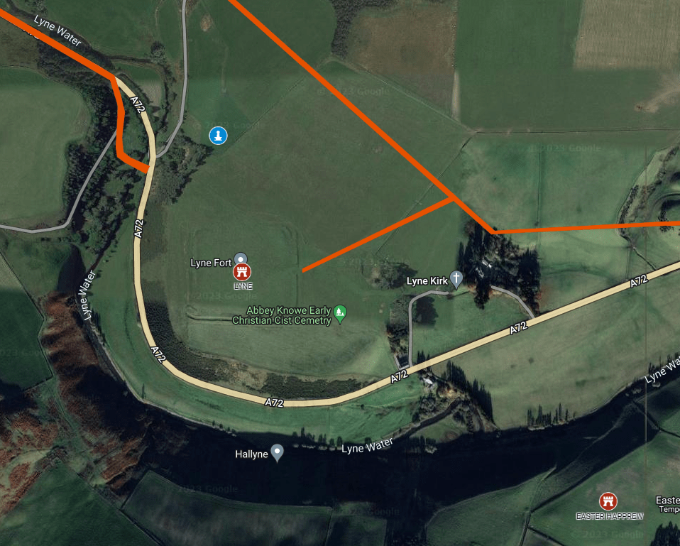
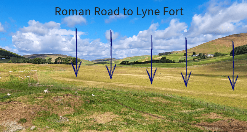
The fort you see here was built on the Roman road between the great forts of Trimontium near Melrose and Castledykes near Lanark. Along this route there are other forts and camps surrounding the farm of Lyne; there is a temporary camp measuring nearly 50 acres in size. However, its outline can now only be seen as a crop mark from the air. The soldiers who built the fort probably used this camp. Just to the north of the fort is a tiny fortlet of which little is known and which also can no longer be seen on the ground.
Map of Forts, Camps and Native Hillforts
The native tribes of Tweeddale and Clydesdale were the Selgovae as described by the Romans. Numerous hilltop forts and lower defensive settlements of these people can be visited in these areas. Relations between the locals and the invaders were probably not friendly, judging by the defensive requirements of each group. However, it is likely that many native hill forts existed before the Romans arrived, showing that hostilities already existed between tribes in southern Scotland. The people to the east were named Votadini, while those to the west were the Damnonii and the Novantae.
References
- Lyne (Trove NRHE ID: 50065)
- Lyne Fort (Border Archaeology)
- Lyne Heritage Trail (Biggar Archaeology)
- Lyne Roman Fort (Roman Britain)
- Excavation of the Roman Camp at Lyne, Peeblesshire, undertaken by the Society of Antiquaries of Scotland in 1901: With Notes on the Relics. (1901). Proceedings of the Society of Antiquaries of Scotland, 35, 154-186. https://doi.org/10.9750/PSAS.035.154.186

