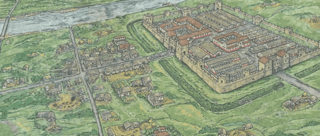
- 270 AD a fort with a double portal gateway was built
- 300 AD road resurfaced
- 350 AD south portal blocked
Visit Piercebridge
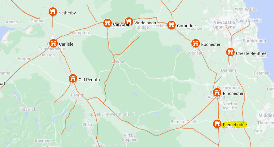
Piercebridge preserves remains of a Roman fort and a separate bridge crossing of the River Tees. Allow time for both locations and use the site records to distinguish them.
Piercebridge at a glance
| Occupation | The visible stone fort dates principally to the later third century, with occupation continuing into the late Roman period. |
| Garrison | The garrison is not securely identified in this guide. |
| Size | Internal area not securely established in the sources summarised here; measurements of the fort, annexes and different phases should be kept separate. |
| Troop estimate | No secure numerical estimate is established here. Fort area alone cannot determine the number present. |
This fort guards the bridge over the Tees and it seems unlikely that there was not a timber version but no trace has been found.
In Roman times Piercebridge was an important place because it guarded the point where Dere Street crossed the River Tees. The remains you can see today are of the fort that was built in 260 much later than other forts along Dere Street. The fort was possibly named Morbium, and most of it now lies beneath the village green and surrounding houses. It appears to have been occupied in some form until well beyond 400 AD. It would originally have contained the headquarters building, the commandant’s house, a hospital, granaries, work-shops, barracks, bathhouse and stables.
Inscriptions
Inscriptions and objects from the fort, settlement and River Tees crossing have different contexts. River finds should not automatically be used as evidence for a resident military unit.
References
- Piercebridge Roman Fort (Historic England Research Records)
- Piercebridge Roman Fort (Tynedale Hadrian’s Wall Group)

