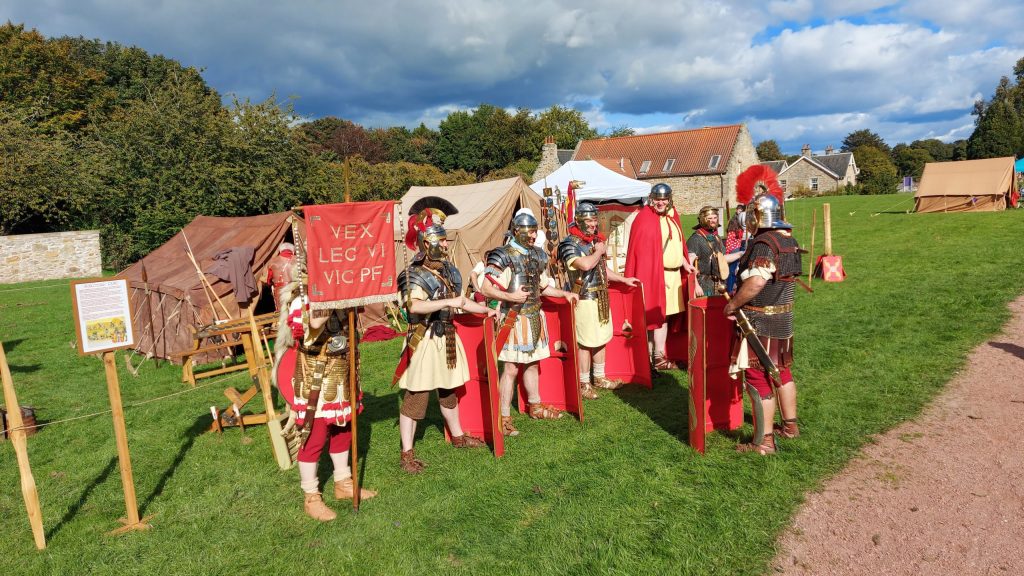
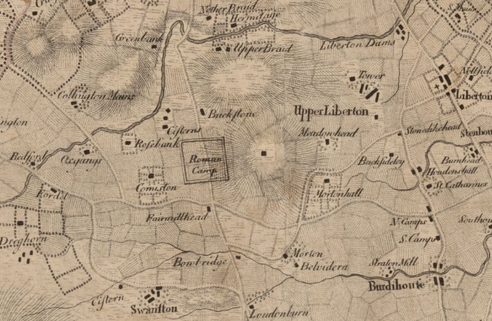
There is no confirmed Roman camp at Fairmilehead itself, though it is a famous “ghost” site in Scottish archaeology that appeared on historic maps for years.
Mapmaker: Laurie, John.; Baillie, Alexander.
Title: A plan of Edinburgh and places adjacent from an actual survey = Plan d’Edinbourg…
Date: 1770.
Here are the specific details regarding the “Fairmilehead Camp” and the actual Roman presence nearby:
1. The “Lost” Fairmilehead Camp (Galachlaw)
For a long time, historic Ordnance Survey maps (e.g., 1855) and antiquarian texts identified a “Roman Camp” on the ridge at Galachlaw (near the Caiy Stane and Fairmilehead Park).
- The Reality: This is now generally accepted to be a misidentification of Oliver Cromwell’s camp from 1650 (before the Battle of Dunbar). Cromwell’s army camped at Galachlaw, and 18th/19th-century antiquarians often conflated large earthworks with Roman military engineering.1
- The 2013 Excavation: In 2013, a community archaeology project called “The Quest for a Lost Roman Camp” excavated test pits in Fairmilehead Park and local gardens.2 They found no Roman artefacts or features. The “oval” feature seen on old maps is now thought to be either the Cromwellian site or potentially a pre-existing Iron Age enclosure, but not Roman.
2. The Confirmed Camps Nearby (Pentland Mains / Lothianburn)
While Fairmilehead is likely a myth, you are very close to genuine temporary marching camps just slightly to the south and west.
- Pentland Mains (Lothianburn): There are confirmed Roman temporary camps recorded at Pentland Mains (near the junction of the A702 and the city bypass). Aerial photography has revealed cropmarks here. This would have been a logical stopping point for a column moving north towards Cramond or Inveresk, utilizing the natural route through the Pentland foothills.
- Redford: There are also records of a temporary camp at Redford (near the barracks), though much of this area has been developed.
3. The Caiy Stane Connection
The large standing stone on Caiystane View (The Caiy Stane) is frequently linked in local folklore to a “Roman battle” or camp.3
- Archaeological Status: This is a prehistoric megalith (likely Bronze Age) with cup marks. It predates the Romans by thousands of years and was not a Roman military marker, despite the persistent local legend connecting it to the “Roman Camp” nearby.
Recommendation for your website:

