Visit Castlehill Roman Fort
📍 Location: Castlehill, near Bearsden, East Dunbartonshire
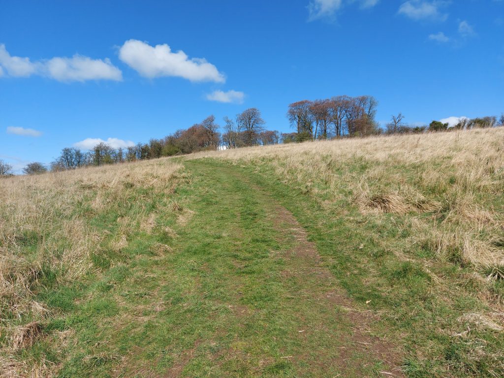
👁 What survives: The fort survives mainly as buried archaeology and subtle landscape evidence.
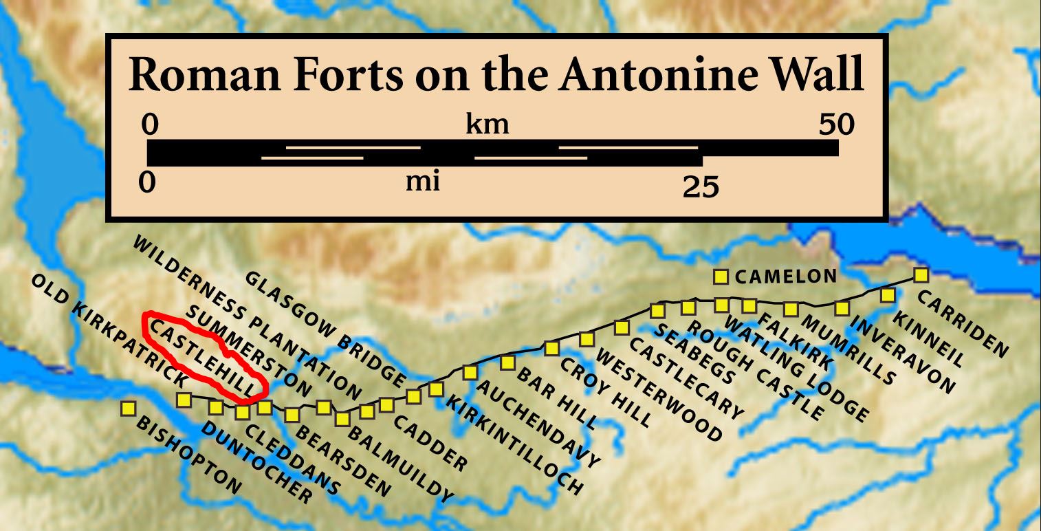
⭐ Best for: Understanding the sequence of forts along the western Antonine Wall.
🥾 Visit: A landscape stop with limited visible remains; respect access and surrounding land use.
🏛 Nearby Roman places: Bearsden, Duntocher and Balmuildy
Castlehill at a glance
| Occupation | Antonine period, broadly the AD 140s–160s; exact opening and closing years remain uncertain. |
| Garrison | The Fourth Cohort of Gauls is attested; shared deployment with Bearsden has been suggested. |
| Size | Recent survey suggests about 0.92–1.02 hectares internally. |
| Troop estimate | Probably part of a cohort; neither the full internal plan nor a headcount is established. |
Inscriptions
RIB 2195 is a dedication by the Fourth Cohort of Gauls to the Goddesses of the Parade Ground and Britannia. Nearby legionary distance slabs record frontier construction.
References
Hanson, Jones and Hannon (2024), Exploring the Antonine Wall with terrestrial remote sensing
Castlehill belongs to the Antonine occupation. Recent survey suggests an internal area of about 0.92–1.02 hectares (2.3–2.5 acres), depending on how the eastern rampart is interpreted.
Explore finds in video and 3D
Open an item below to play its short video or explore its interactive 3D model. Titles retain the publishers’ findspot labels; nearby discoveries need not have come from inside the fort. Videos are from the Antonine Wall Vimeo Account; interactive models are by Historic Environment Scotland.
Altar, Castlehill · Video, 17 seconds
17 seconds · Altar, Castlehill · Antonine Wall Vimeo Account
Distance stone of the Twentieth Legion, Castlehill · Video, 17 seconds
17 seconds · Distance stone of the Twentieth Legion, Castlehill · Antonine Wall Vimeo Account
References
- The Antonine Wall – Castlehill
- Castlehill (Trove NRHE)
- Castlehill Fort (Wikipedia)

