The lower Annan valley formed one of the principal approaches into south-west Scotland. Roman soldiers moving north from Carlisle could follow routes through Annandale towards forts, roads and communities farther inside the country.
Amazing fact
At Birrens, an inscription names the fort as Blatobulgium—one of the comparatively rare occasions when a Roman place-name in Scotland can be connected with a particular site.
Why this area mattered
The River Annan and the surrounding valleys offered practical lines of movement through otherwise difficult country. The Roman army established forts and smaller posts to watch these routes, protect communications and support campaigning forces.
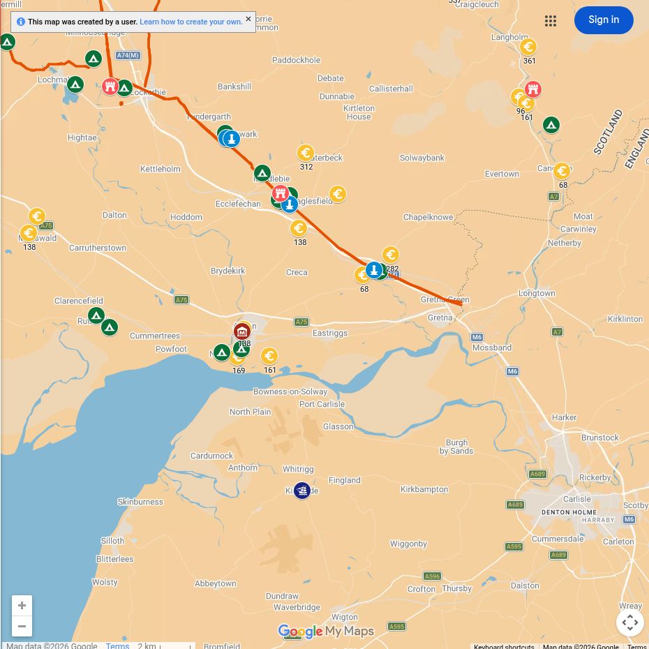
Roman places near you
Birrens
The major fort at Birrens, near Middlebie, was occupied and rebuilt during several Roman periods. Inscriptions and sculpture reveal a garrison drawn from different parts of the Empire.
Burnswark
The prominent hillfort and the Roman camps below it preserve evidence of a dramatic military encounter, training exercise or display of force. The interpretation remains debated.
The western road
Roads and temporary camps connected this district with Carlisle and with Roman installations farther north and west.
What can you see today?
Birrens and Burnswark are archaeological landscapes rather than conventional staffed attractions. Their earthworks and setting are rewarding, but visitors should check access and respect farmland.

