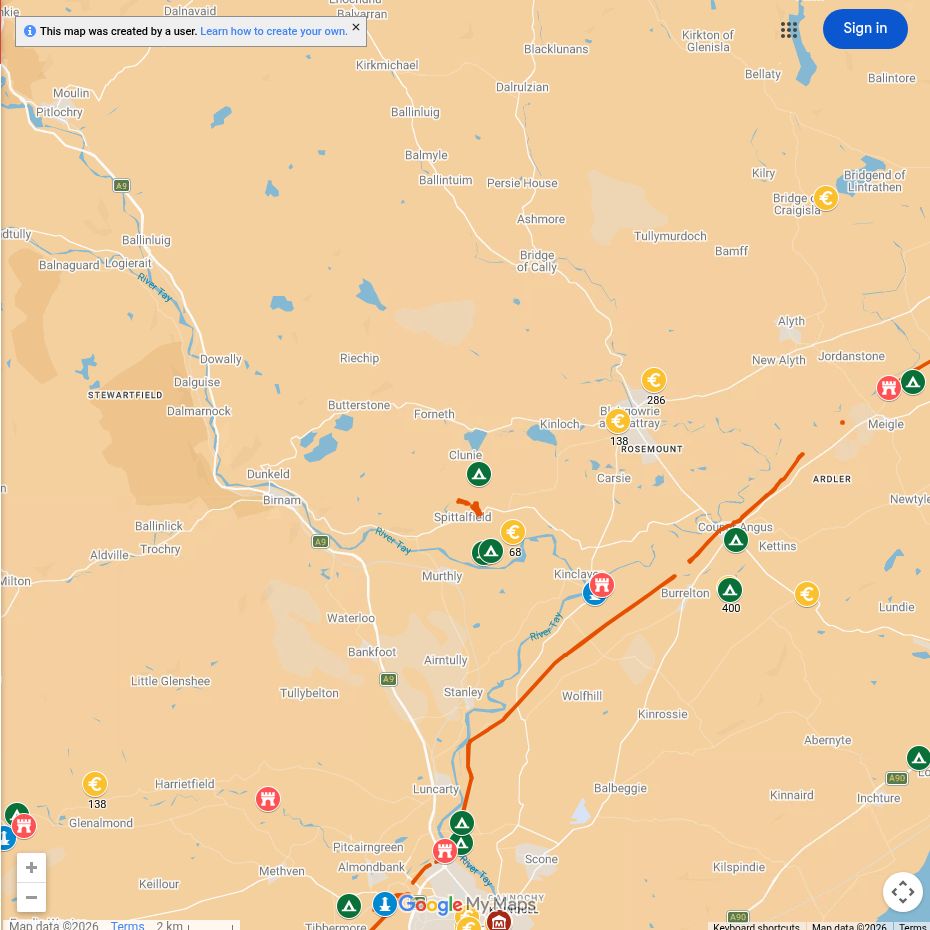
The Tay valley around Dunkeld, Murthly and Blairgowrie lay at the northern edge of Rome’s most ambitious first-century occupation. The great fortress of Inchtuthil dominated this military landscape.
Amazing fact
Inchtuthil covered about 50 acres and was planned to house an entire legion of roughly 5,000 men, plus supporting personnel.
Why this area mattered
From here the army could watch routes through Strathmore and towards the Highland glens. The elevated plateau at Inchtuthil also had good access to the Tay and to land communications.
Roman places near you
Inchtuthil
A full legionary fortress with headquarters, barracks, hospital, workshops and granaries.
Cargill
Forts near the junction of the Isla and Tay formed part of the route through Strathmore.
Temporary camps
Camps throughout the district mark army movements beyond the permanent bases.
What can you see today?
These are primarily landscape and cropmark sites on or near working land. Use public routes, check access and begin with maps or museum interpretation.

