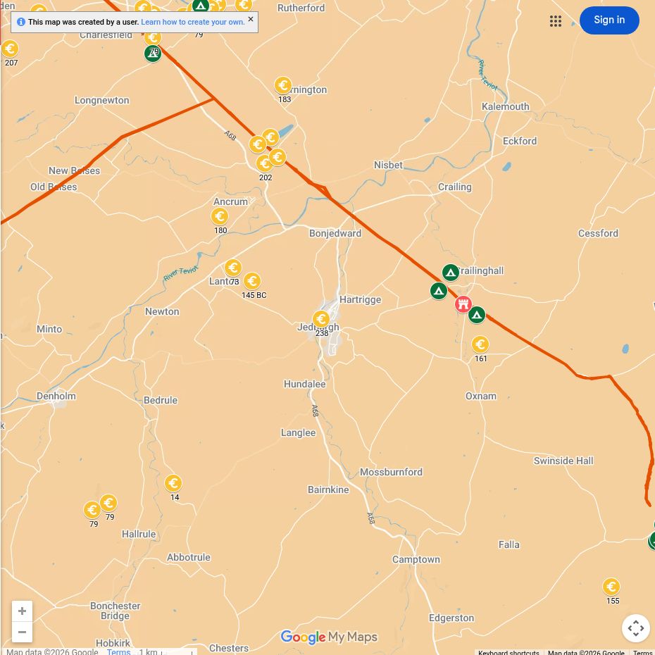
Jedburgh lies close to Dere Street, the principal Roman road through the eastern Borders. Forts, signal points and temporary camps along this corridor reveal how the army moved between northern England and central Scotland.
Amazing fact
Dere Street remained such a useful route that later roads and tracks repeatedly followed or crossed its Roman line.
Why this area mattered
The valleys of the Teviot and Jed Water opened routes through the Border hills. Controlling these approaches helped protect communications and enabled armies to advance north.
Roman places near you
Cappuck
The fort near the Oxnam Water guarded Dere Street and the surrounding road network.
Pennymuir
Camps and road remains on the high ground show Roman forces crossing a demanding upland landscape.
Dere Street
The road linked York and Corbridge with Newstead and the Forth.
What can you see today?
The Roman story is best experienced through the landscape. Sections of the Dere Street route can be followed, but conditions and access should be checked before setting out.

