The upper Tweed provided a natural east–west corridor through southern Scotland. Around Peebles, forts, roads and temporary camps show that Roman forces repeatedly used this landscape.
Amazing fact
The fort at Eshiels was positioned where several valleys meet, allowing its garrison to watch movement through the upper Tweed landscape.
Why this area mattered
River valleys offered water, grazing and manageable gradients. The meeting of routes near Peebles made the district valuable for communication between Clydesdale, the eastern Borders and the Forth.
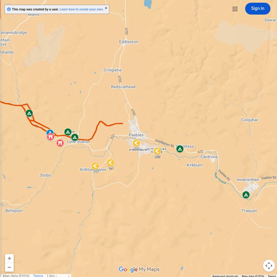
Roman places near you
Eshiels
The fort east of Peebles occupied a strategic position near the Tweed.
Lyne valley
Roman roads and installations used the tributary valleys leading away from the town.
Temporary camps
Cropmarks and earthworks record armies stopping during campaigns and movements.
What can you see today?
Few remains resemble standing Roman buildings. The value of the area lies in understanding the river landscape and the routes visible on archaeological maps.

