Rome’s extraordinary record of building the Antonine Wall
Nearly 1,900 years ago, Roman soldiers constructed a new frontier across central Scotland. When sections of the Antonine Wall were completed, the legions responsible did something extraordinary. They erected elaborately carved stone monuments recording their work.
Today we call them the:
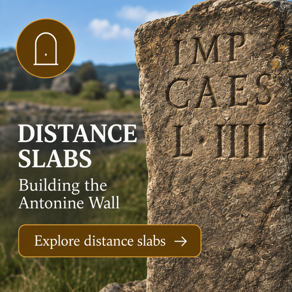
Distance Slabs
They tell us which legion carried out the work and how much of the Wall it had constructed.
But they were much more than builders’ records.
Some show Roman cavalrymen riding down their enemies. Others depict bound captives, Victory, legionary symbols and scenes of violence.
They proclaimed that this landscape now belonged to Rome.
And they are remarkable survivors.
Nothing quite like this collection of monumental building records has been found on any other Roman frontier.
Explore the detailed catalogue of all 18 Distance Slabs
🧱 What is a Distance Slab?
The Antonine Wall was constructed during the reign of the emperor Antoninus Pius, beginning around AD 142.
The enormous construction project was divided between detachments of the three legions then based in Britain:
Legio II Augusta — Second Legion Augusta
Legio VI Victrix — Sixth Legion Victrix
Legio XX Valeria Victrix — Twentieth Legion Valeria Victrix
The slabs recorded sections of work undertaken by these legionary detachments.
A typical slab names:
the emperor
↓
the legion
↓
the distance constructed
But some were transformed into elaborate sculptures containing a much more powerful message.
They were simultaneously:
building records • imperial monuments • military propaganda
🔎 How do you read a Distance Slab?
At first sight, the Latin can appear intimidating.
But once the abbreviations are expanded, many slabs follow a surprisingly understandable formula.
Take RIB 2173, erected by the Twentieth Legion.
The inscription begins:
IMP CAESARI
T AELIO HADRIANO
ANTONINO AVG PIO P P
This identifies the emperor:
Imperator Caesar Titus Aelius Hadrianus Antoninus Augustus Pius, Father of his Country.
Then comes:
VEXILLATIO
LEG XX VAL VIC
A vexillatio was a detachment.
So this tells us that the work was undertaken by:
a detachment of Legio XX Valeria Victrix
Finally:
F PER MIL P III
This records that they built the work for:
3,000 Roman paces — three Roman miles.
RIB translates the whole inscription as a dedication to Antoninus Pius recording that a detachment of the Twentieth Legion built the work for three miles.
See RIB 2173 and the original Latin
🔤 Learn the language of the slabs
Once you recognise a few abbreviations, the inscriptions become much easier to understand.
| Inscription | Meaning |
|---|---|
| IMP | Imperator |
| CAES | Caesar |
| AVG | Augustus |
| PIO | Pius |
| P P | Pater Patriae — Father of his Country |
| VEX / VEXILLATIO | Detachment |
| LEG | Legion |
| F / FEC | Fecit — made/built |
| P | Passus — pace, depending on context |
| PED | Pedum — feet |
| M P | Milia passuum — thousands of paces |
The slabs therefore become something we can actually read.
They aren’t mysterious Roman symbols.
They are construction records written in highly abbreviated Latin.
📏 How far did each legion build?
This is one of the most important things about the slabs.
They don’t simply say:
“The Twentieth Legion built this.”
They record how much they built.
For example, the Summerston slab, RIB 2193, records that Legio II Augusta constructed 3,666½ paces.
Its counterpart, RIB 2194, records exactly the same distance for Legio VI Victrix. Your detailed catalogue explains why these two slabs may have stood on opposite faces of the same boundary between work sectors.
This means the slabs can potentially allow us to reconstruct how the enormous construction project was divided between competing legionary work parties.
But there is a surprise.
Not all the slabs use the same unit.
👣 Paces or feet?
Across much of the Wall, distances were recorded in Roman paces.
A Roman passus was five Roman feet.
But towards the western end of the Wall, a different system appears.
There, distances were recorded in feet. This apparently minor difference has become an important clue to understanding how construction of the Antonine Wall developed.
The western terminal section between approximately Castlehill and Old Kilpatrick seems to have been subdivided into six relatively short building sections measured in feet, unlike the longer eastern and central sectors generally measured in paces.
That suggests the Wall wasn’t necessarily constructed according to one completely fixed plan from beginning to end.
The organisation of the project changed.
🏗️ What do the slabs tell us about building the Wall?
This is where the stones become much more than museum exhibits.
Researchers can compare:
the distances written on the slabs
with
their findspots
and
the actual distances along the Wall.
Recent work by William Hanson and colleagues has used improved archaeological information and LiDAR measurements to reassess the construction process.
The evidence supports a Roman measurement based on the standard pes Monetalis and suggests that the original scheme included fortlets, while some larger forts were added subsequently. It also indicates that the Bridgeness–Avon sector was among the earliest sections constructed.
In other words:
The inscriptions help us reconstruct the sequence in which the Antonine Wall was built.
🧱 The Wall may have changed while they were building it
Imagine the Antonine Wall not as a finished line on a modern map, but as an enormous construction site. Thousands of soldiers are involved. Surveyors are measuring the route. Legionary detachments are allocated sections.Fortlets are being constructed. The rampart and ditch are advancing across the landscape. Then the plan changes.
Additional forts are inserted.
Work sections have to be adjusted.
Measurements change.
New boundaries between construction gangs are created.
The Distance Slabs preserve traces of that process.
They aren’t simply records of the finished frontier.
They may record decisions being made while the frontier was under construction.
That makes them unusually important archaeological evidence.
🪨 Were some slabs prepared in advance?
There is another intriguing clue.
Some inscriptions look as though the stone was carved before the final distance was known. On some slabs the numerals appear cramped into the available space. Others seem incomplete.
For example, RIB 2199 records a detachment of the Twentieth Legion but breaks off after the beginning of the distance formula. It has traditionally been associated with Duntocher, although recent reassessment questions that provenance and suggests a location nearer Castlehill may make more sense.
This raises an intriguing possibility. Were some slabs commissioned before the work section had actually been completed and measured? If so, the stone carvers and construction gangs were working alongside one another as part of a planned building programme. The final number could then be added when the section was finished — perhaps in some cases using paint rather than carving.
🎨 More than construction records
If Rome simply wanted to record measurements, the inscriptions could have been very simple.
Some are.
But others are spectacular.
They contain:
Victory
Roman cavalry
eagles
legionary emblems
captives
defeated enemies
weapons
scenes of Roman triumph
Why?
Because these slabs weren’t simply intended to tell Roman engineers how much turf rampart had been constructed.
They communicated a political message.
Rome had conquered.
🐗 The Twentieth Legion — the boar
Roman legions had their own symbols.
The emblem most strongly associated with:
Legio XX Valeria Victrix
was the boar.
It appears on Antonine Wall sculpture and acted almost like a legionary signature.
Someone seeing the monument didn’t necessarily have to read:
LEG XX VAL VIC
to recognise whose soldiers were responsible.
The imagery could communicate identity as powerfully as the inscription.
♑ The Second Legion — Capricorn
One of the symbols associated with:
Legio II Augusta
was Capricorn — the extraordinary half-goat, half-fish creature.
It appears on Antonine Wall sculpture alongside another emblem associated with the legion, Pegasus.
Again, the monument wasn’t simply recording construction.
It was advertising:
We built this.
The official Antonine Wall interpretation highlights the boar of the Twentieth and Capricorn or Pegasus of the Second as distinctive legionary signatures.
🏇 Romans and defeated enemies
The most famous example is the magnificent:
Bridgeness Slab
RIB 2139
It was erected by Legio II Augusta near the eastern end of the Antonine Wall.
The sculpture is striking.
On one side, a Roman cavalryman charges down defeated enemies.
On the other, captives appear beneath a scene of Roman religious ritual.
At the centre is the inscription recording the emperor, the legion and its construction work.
This isn’t neutral decoration.
The people living beyond the frontier were being shown:
Roman military power
Roman religion
Roman victory
Roman authority
The slab therefore worked simultaneously as an inscription and an image.
Explore RIB 2139 — the Bridgeness Distance Slab
⚔️ Propaganda on the frontier
Some of the imagery is brutal.
Defeated enemies can be shown bound, naked, trampled or killed.
We often encounter Roman art today inside quiet museums, where it can appear decorative. But these images were produced by an occupying army. Placed on or beside Rome’s new frontier, their message was unmistakable. Rome had defeated its enemies. Rome controlled the land. Rome’s emperor had ordered the frontier built.
The official Antonine Wall interpretation similarly emphasises the slabs’ imagery of conquering Romans, downcast enemies, beheading and mutilation as a message of triumph and warning.
The Distance Slabs are therefore among our strongest evidence for how Rome wanted its conquest of southern Scotland to be seen.
👑 Antoninus Pius — the emperor who wasn’t there
The name dominating the inscriptions is:
Antoninus Pius
Yet Antoninus never came to Scotland. He didn’t supervise construction. He didn’t command the soldiers on the Wall. Nevertheless, the frontier was built in his name. That was how Roman imperial power worked. Military success enhanced an emperor’s prestige even when the emperor was thousands of miles away. The slabs repeatedly proclaim his titles and authority. So while the legions actually constructed the Wall:
the achievement belonged publicly to the emperor.
🗺️ Where were the slabs positioned?
This is more difficult than it might seem. It was once tempting to imagine a slab neatly positioned at every fort or at the end of every legionary building sector.The archaeological evidence is messier. Some slabs were found long after the Roman period. Some had moved. Some have uncertain provenances.
Recent work by Hanson and Tomlin warns against assuming a simple relationship between each slab and the nearest fort or fortlet. The slabs make better sense when considered as markers relating to construction sectors of the rampart itself. That distinction matters.
🧭 Why are so many in the west?
Another puzzle emerges when we map the finds. The surviving slabs are overwhelmingly concentrated in the western half of the Antonine Wall.
Only a small number belong securely to its eastern part. Why?It doesn’t mean the eastern Wall wasn’t built by legionary work parties.
The imbalance may reflect changes in the way construction was organised, the survival and recovery of slabs, and the later subdivision of the western end into shorter measured sections.
Your detailed catalogue explores these competing explanations and the proposed positions of individual slabs.
Explore the locations of all 18 Distance Slabs
🏛️ Where can you see them?
Most of the surviving secure Distance Slabs are now held by The Hunterian in Glasgow. The great exception is the spectacular Bridgeness Slab, whose original is in the National Museum of Scotland in Edinburgh. RIB 2194, the East Millichen slab, is held by Glasgow Museums. One slab had a much less fortunate history. RIB 2198 was taken to Chicago and was destroyed in the Great Chicago Fire of 1871.
Fortunately, casts survive.
🔎 Investigate a Distance Slab yourself
Choose a slab and ask:
1. Which emperor is named?
Almost immediately, you have a chronological clue.
2. Which legion built the section?
Look for LEG II, LEG VI or LEG XX.
3. Is it the whole legion?
Usually not. Look for VEXILLATIO — a detachment.
4. What distance is recorded?
Is it measured in paces or feet?
5. What images appear?
Victory? A legionary emblem? Roman soldiers? Captives?
6. Where was it found?
How reliable is that find spot?
7. Where might it originally have stood?
That isn’t necessarily the same place.
8. What was its message?
Was it simply recording construction — or proclaiming Roman victory?
Once you ask those questions, a carved stone becomes a historical document.
🖼️ Gallery — all 18 Distance Slabs
I would make this the visual centrepiece of the page.
Rather than reproduce all the technical information from your catalogue, use 18 image cards. Each card needs only the image, RIB number, legion and findspot, with the whole card linking to the relevant entry in your detailed catalogue.
RIB 2139 — Bridgeness
Legio II Augusta
The most famous slab, combining construction record, sacrifice and violent imagery of Roman victory.
RIB 2173
Legio XX Valeria Victrix
Provenance uncertain. Records three Roman miles.
RIB 2184 — Eastermains
Legio XX Valeria Victrix
RIB 2185 — Eastermains / Inchbelly Bridge
Legio VI Victrix
One of the intriguing slabs where the treatment of the final distance raises questions about advance preparation.
RIB 2186 — Cadder
Legio II Augusta
RIB 2193 — Summerston
Legio II Augusta
A spectacular sculptured slab recording 3,666½ paces, with Victory, cavalry imagery, captives, eagle and Capricorn.
RIB 2194 — East Millichen
Legio VI Victrix
Also records 3,666½ paces and may have marked the opposite side of the same construction boundary as RIB 2193.
RIB 2195
Legio XX Valeria Victrix
RIB 2196
Legio XX Valeria Victrix
RIB 2197
Legio VI Victrix
RIB 2198
Legio XX Valeria Victrix
The original was destroyed in the Great Chicago Fire; casts preserve its appearance.
RIB 2199
Legio XX Valeria Victrix
An incomplete inscription which may never have received its final carved distance.
RIB 2200
Legio VI Victrix
RIB 2201
Legio II Augusta
RIB 2202
Legio II Augusta
RIB 2203
Legio VI Victrix
RIB 2204
Legio XX Valeria Victrix
RIB 3507 — Cleddans / Hutcheson Hill
Legio XX Valeria Victrix
A spectacular slab recording 3,000 feet, decorated with the legion’s boar, Roman military imagery, captives and a personification interpreted as Britannia/province.
→ See photographs, inscriptions, translations, findspots and discussion of all 18 slabs
Explore the complete Antonine Wall Distance Slabs catalogue
Why the Distance Slabs matter
The Antonine Wall itself survives only in fragments.
Its turf rampart has collapsed.
Its timber buildings have vanished.
Much of its stone has been robbed.
But the Distance Slabs allow us to glimpse the construction project almost as it happened.
They tell us:
who built sections of the Wall
how the work was divided
how Roman surveyors measured it
how the construction plan may have changed
how the legions advertised their identity
and, through their imagery,
how Rome wanted conquest to be understood.
They are therefore much more than milestones.
They are simultaneously:
engineering records
military signatures
imperial propaganda
and some of the finest surviving Roman sculpture from Scotland.
Explore all 18 Antonine Wall Distance Slabs
From stone to the soldiers who built the Wall
The Distance Slabs tell us that three legions divided the work:
II Augusta • VI Victrix • XX Valeria Victrix
But those names raise another question.
Who were these legions?
Where were they normally based?
Why were detachments sent north?
And alongside the legionaries, who were the auxiliary soldiers who actually garrisoned many of Scotland’s forts?
That takes us from the stones themselves to the army that created them.
→ Next: Explore the Roman Coins in Scotland