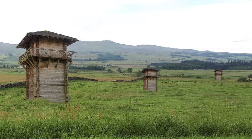
Rome’s northern frontier was not a fixed line.
During more than two centuries of Roman involvement in northern Britain, armies advanced into Scotland, withdrew south, built Hadrian’s Wall, moved north again to construct the Antonine Wall, and continued to operate beyond both frontiers.
Nor was a Roman frontier simply a wall. It was a military landscape of forts, fortlets, roads, watchtowers, temporary camps and civilian settlements, designed to control movement and support the army.
Explore how that frontier changed through time.
The frontier before the Walls
Agricola, Flavian forts, the Gask Ridge and the early road network.
→ Explore the Gask Ridge
Hadrian’s Wall – from AD 122
The permanent frontier established across northern England, with Scotland lying beyond it.
→ Explore Hadrian’s Wall
The Antonine Wall – from around AD 142
Rome pushed its formal frontier north to the Forth–Clyde isthmus.
→ Explore the Antonine Wall
Beyond the frontier
Forts, camps, diplomacy, trade and Roman activity continued across Scotland as far as Orkney
→ Explore Roman sites across Scotland
The frontier changes again
Withdrawal from the Antonine Wall, later campaigns and the Severan invasions.
→ See Roman Scotland and the empire through time
See the frontiers on the map
Antonine Wall Map | Hadrian’s Wall Map | Gask Ridge Map | All Maps


Leave a Reply