Modern Glasgow grew south of the Antonine Wall, but the city and its northern approaches contain some of the frontier’s most important sites and collections.
Discover the Roman stories nearby
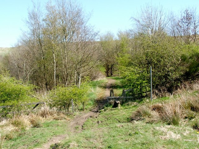
Balmuildy: a stone fort beside the Kelvin
One of two Antonine Wall forts with stone defensive walls, alongside Castlecary. The modern woodland path reveals the setting; excavation and objects reveal the fort.
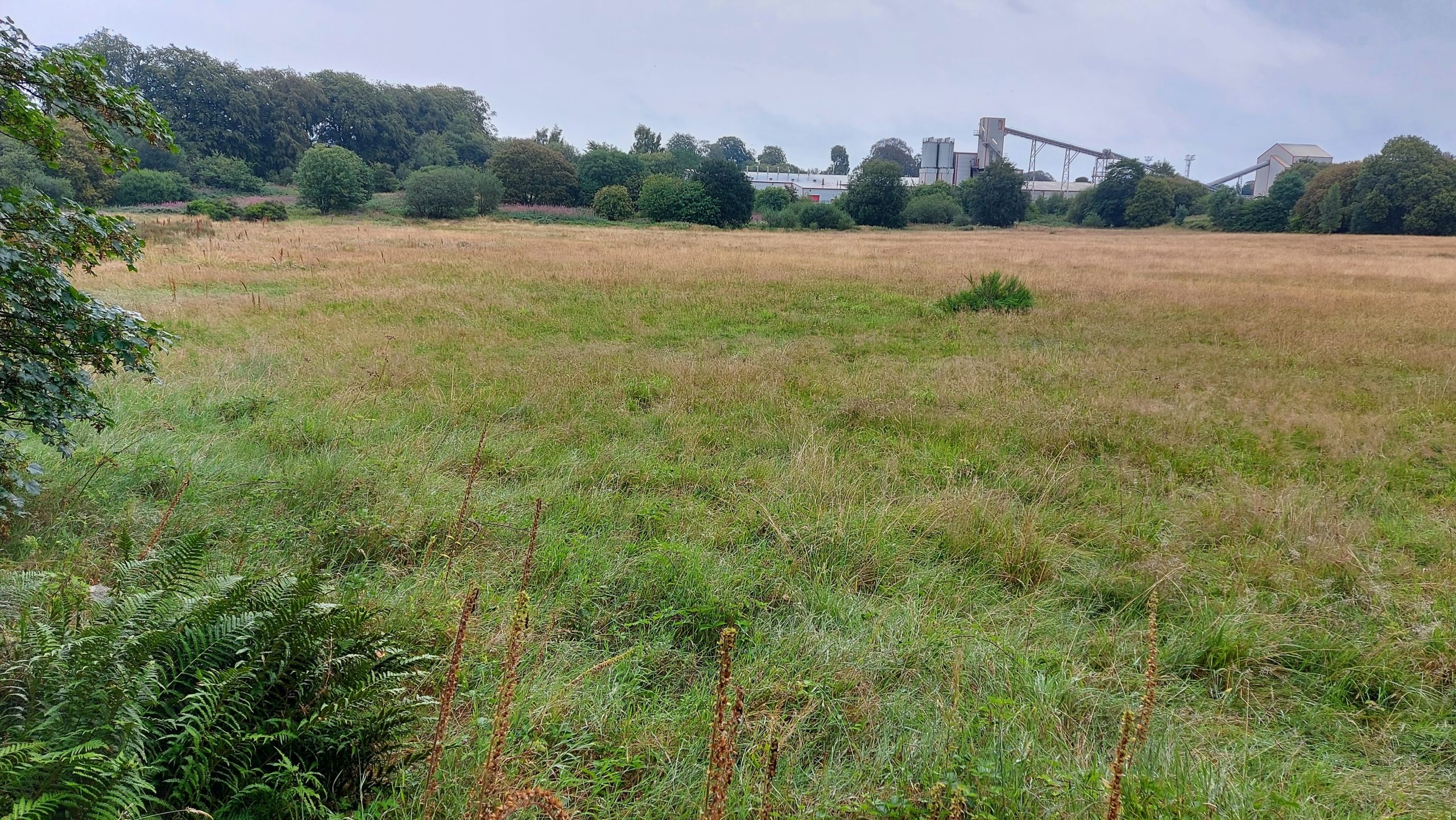
Cadder: finding a buried frontier
Study the fort beside the Kelvin and modern canal landscape. Its plan is known through archaeology even though visitors cannot walk through exposed barracks.
Explore the Roman sites map
Select the local map below to open the interactive view, then zoom or select a marker. Read the evidence notes below alongside it: a marker shows a recorded location or proposal, not proof that a Roman structure survives
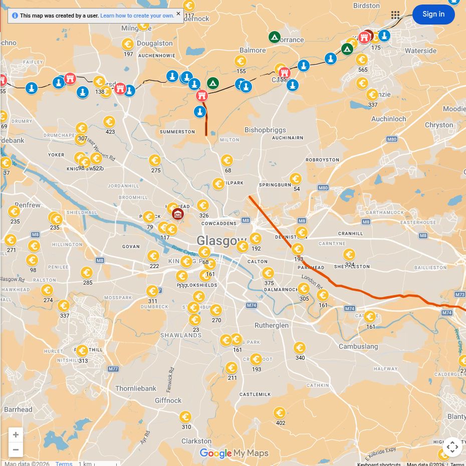
Open the interactive map full screen
What the evidence establishes
- Balmuildy and Cadder — established Roman forts. Both are principally buried sites. Balmuildy was not the only stone-defended fort on the Wall.
- The Hunterian — museum evidence from many sites. An object displayed in Glasgow need not have been found in the city. Read the findspot as well as the inscription.
- Kelvin routes — landscape interpretation. The modern canal and paths help visitors travel, but are not themselves Roman roads.
Why this area mattered
The Wall followed high ground north of the Clyde. Forts controlled roads and river crossings, while legionary building teams left monumental inscriptions recording their work.
Plan your visit: what survives today
- The Hunterian Museum: the most useful starting point for Glasgow’s Roman story, with Antonine Wall inscriptions and objects. Check The Hunterian Museum for opening and accessibility.
- Balmuildy: explore the Kelvin setting from public paths. No complete fort stands above ground; avoid treating adjoining fields as a laid-out archaeological park.
- Cadder: combine the local landscape with the fort article and plan. For substantial exposed masonry, make the separate trip to Bearsden’s bathhouse.
Sources, finds and further reading
Start with the local articles above, then follow the excavation reports, archaeological records and collections below. Historical reports preserve valuable evidence but may use interpretations revised by later work.
- S. N. Miller (1922), The Roman Fort at Balmuildy — digitised original excavation report
- Balmuildy archaeological record
- Cadder archaeological record and excavation bibliography
- The Hunterian: a guide to the Roman collections
- Antonine Wall visitor information
Continue exploring
- The Antonine Wall
- Explore distance slabs
- Visit the Antonine Wall
- Women in Roman Scotland — includes footwear from Balmuildy and inscriptions now in museum collections.
- Verecunda at Shirva — a woman named on a tombstone near Auchendavy (RIB 2183). Her legal status and origins are unknown. Her stone is held by the Hunterian; its findspot is Shirva, not Glasgow.
- The Summerston distance stone — Louisa Campbell’s 36-minute lecture, with a connection to the replica at Lambhill Stables.
- X-rays and the origins of Roman pottery — research linking museum objects with their manufacture.

