Stirling occupies the gateway between lowland and Highland Scotland. Roman armies repeatedly used the Forth valley and the routes leading towards the Teith, Strathearn and the Tay.
Amazing fact
The fort at Doune was discovered from the air in 1983 when cropmarks revealed its buried defences and buildings.
Why this area mattered
Crossings near the head of the Forth estuary concentrated movement through a narrow zone. Control of this district opened access to several northern corridors.
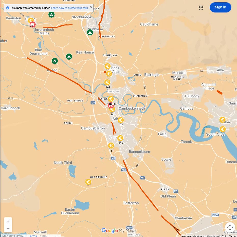
Roman places near you
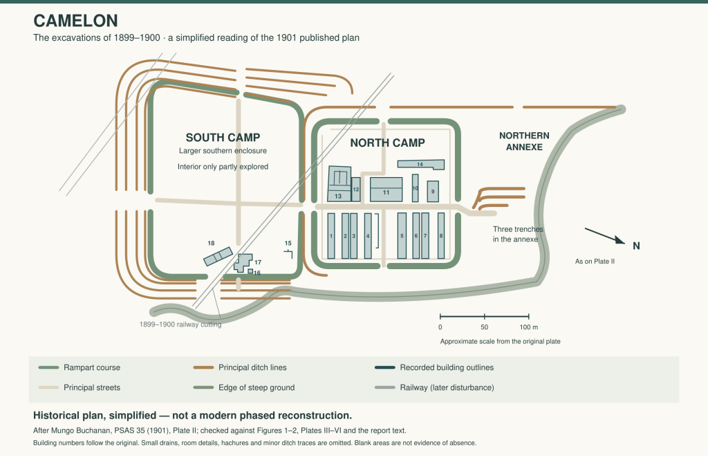
Camelon
South-east of Stirling, successive forts and camps formed a major military complex.
Doune
A Flavian fort near the River Teith guarded a route towards the Highlands.
Forth valley camps
Temporary camps record repeated movement and concentration of campaigning forces.
What can you see today?
The archaeology is dispersed, so the shared map is particularly useful. Doune and Camelon should be understood as parts of a much wider route system rather than isolated forts.
Explore more
- The Romans in Stirling: Forts, Roads and the Gaps in Our Knowledge (Stirling Field & Archaeological Society)
- Roman forts in Scotland
- Inside a Roman marching camp
- Explore Roman sites

